Drones in construction surveying: a gold mine of benefits
Utilising drones in construction surveying provides several solutions to problems presented by the use of traditional and outdated equipment.
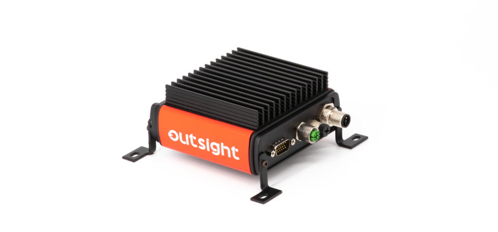
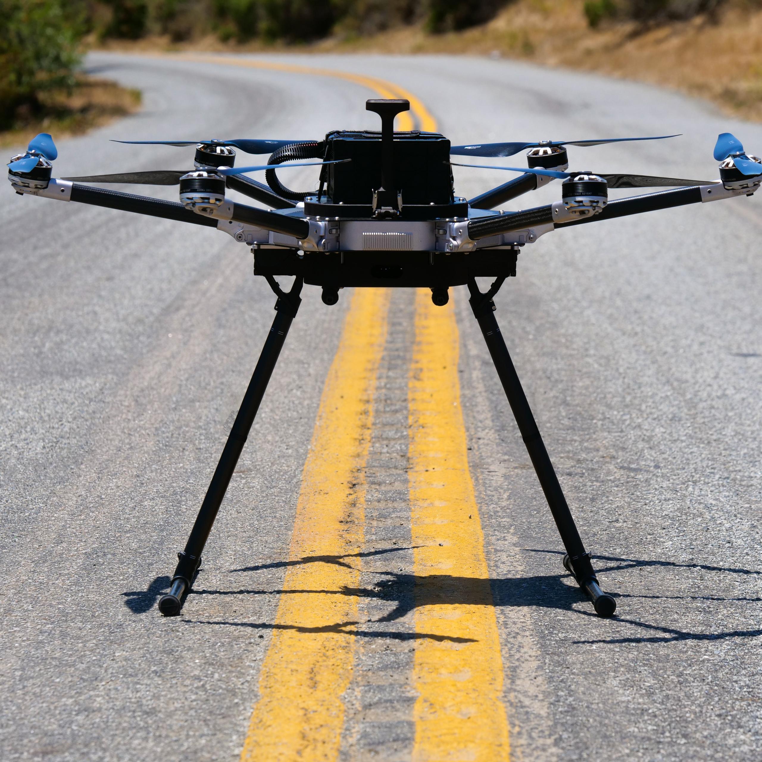
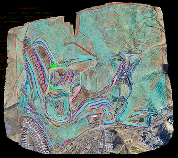
Drones can be used for photogrammetry, the science of obtaining reliable information about the physical environment and surrounding objects through the process of capturing, measuring, and analysing photographic images. This technology is a huge improvement over conventional topographic mapping, which requires teams to be on-site, walking and shooting the grids to get an accurate measurement.
Numerous companies have switched to using commercial drones for surveying and are reaping the benefits; photogrammetric surveying is more cost-effective and safer than the more traditional method and allows for projects to be completed faster and without interruption.
Reducing costs
Thanks to the cutting edge technology that commercial drones provide, the return on investment has been proven to be far higher than that of traditional methods. Companies can save money by creating more accurate models with drones, avoiding costly mistakes due to inaccurate surveying. Drones can offer a more complete picture of the site, reducing the amount of rework required and allowing companies to do it right the first time. Costs can be further reduced as smaller teams can cover the same amount of ground by surveying with drones.
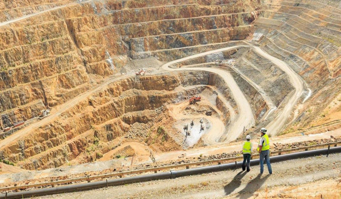
An example of this can be found with Ames Construction. Safety for their surveying crews is especially important as one of their recent projects required them to take measurements of pit benches in an open mine, which can be prone to slope failure or slippage. They were able to use a drone to survey the area, which allowed for crew members to be a safe distance away from these inherently dangerous zones. Not only are companies able to keep their surveying crews safe, but drones can be used to monitor safety conditions and look out for potential hazards for workers below. The drone can be used to plan emergency routes in case of an accident, as well as create up-to-date maps of the ever-changing mine to be posted onsite.
Increasing efficiency
With the use of drones for surveying, companies can complete construction projects faster by avoiding interruptions in work. Traditional methods of surveying can require work to be stopped to ensure the safety of surveying crews, as vibrations from machinery could cause wall collapses that could injure workers.
Now drones can safely survey the site simultaneously, avoiding long pauses in work and allowing the project to be completed in less time. This increases efficiency, providing more leeway in the timelines for projects if anything else is delayed. Time is also saved as regular drone flights to monitor progress can catch any mistakes or hazards early, preventing them from derailing the progress of the project.
The use of drones for surveying, particularly in heavy civil construction, has been proven to be a beneficial tool in reducing costs and total project time, while also increasing safety and accuracy in measurements. More and more companies are realising how this technology can greatly improve the work they do for their clients, while also helping them expand on their surveying capabilities.
Drones play an ever-increasing role in the construction surveying industry and are becoming an essential part of this competitive environment.