LiDAR making waves in the battle against coastal erosion
Remote monitoring
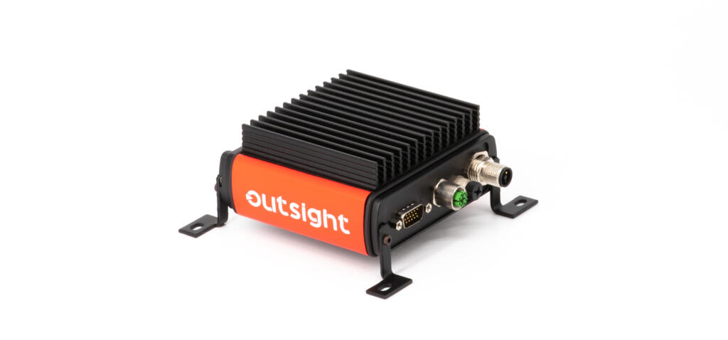
A team at the University of North Carolina Wilmington (UNCW) is researching storm events, and the consequent impact on the coastline, using Blickfeld Cube 1 LiDAR sensors. They are aiming to develop a measuring system that can be rapidly installed at beaches to remotely measure water levels, waves, and the evolution of the beach profile during a storm event.
Protecting communities
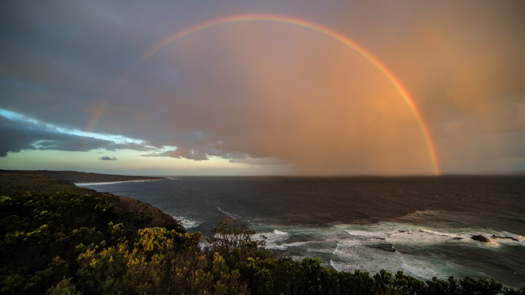
Rising sea levels, and more frequent, severe storms, threaten coastal regions worldwide, causing flooding and eroding coastlines. It’s therefore essential to research and understand these storm events to predict their impact on the barrier island and coastal communities, enabling protective and mitigatory measures to be taken.
Using LiDAR data
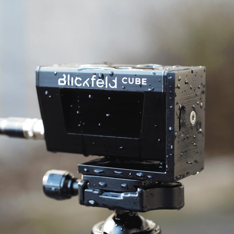
To collect data on changes in the beach profile, waves, and water levels, the UNCW team deployed a Blickfeld Cube 1 LiDAR sensor at the U.S. Army Corps of Engineers Coastal Hydraulics Laboratory in Duck, North Carolina, as part of DUNEX (During Nearshore Experiment) – a multi-agency, academic, and NGO collaborative community.
They are aiming to develop affordable and scalable remote sensing platforms to measure storm surge impacts on coastal areas. There are several requirements of the platforms, including the sensors having to record both shoreline changes that take place over a longer period and greater spatial dimensions, as well as wave profiles that require fast and continuous data acquisition in a much narrower spatial field.
These necessities are met by the Blickfeld LiDARs’ configurable scan patterns and the robustness of the sensors, enabling them to reliably capture 3D data on the coast. Compared to cameras, LiDAR data offers an additional dimension and is not affected by challenging lighting conditions, representing a valuable asset to coastal remote measurement systems.
Long term collection and analysis
Beyond DUNEX, the team will continue their partnership with researchers from the U.S. Army Corps of Engineers. This will involve, synthesising data collected during the pilot campaign in August 2021, and then developing algorithms to filter the data and detect things like how far each wave travels up the beach, and how much the beach elevation changes over time.
Level Five Supplies – your LiDAR partner
Level Five Supplies offers a comprehensive portfolio of LiDAR products from some of the world’s leading manufacturers ensuring that you can find the perfect sensing solution for your application.