Visual Inertial Navigation System – accurate positioning, anywhere, anytime
Level Five Supplies has partnered with Artisense, a supplier of computer vision solutions for autonomous vehicles, as an official distributor of its cutting-edge vision-based positioning platforms, Visual Inertial Navigation System (VINS) and VINS PRO.
The VINS and VINS PRO systems provide an elegant solution to accurately measuring Ground Truth – for vehicle-based inspection and surveying, ADAS and Autonomous R&D test and validation, it’s the ideal complement to strengthen the weaknesses inherent in relying on even advanced GNSS systems
Unparalleled positioning at your fingertips
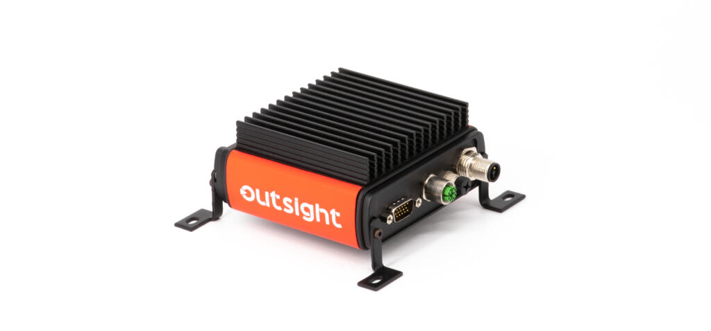
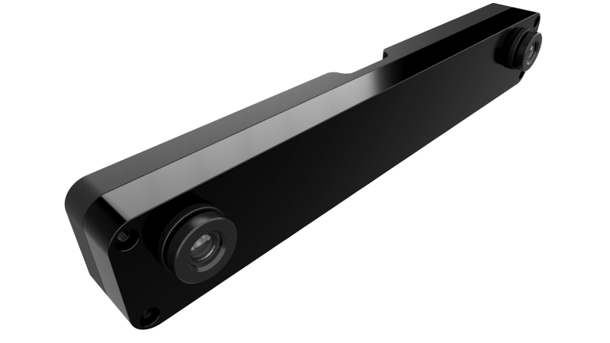
Both VINS and VINS PRO consist of a stereo camera sensor with an integrated inertial measurement unit (IMU) and GNSS receiver, providing unparalleled positioning accuracy and durability, and by using off the shelf components Artisense have produced compact solutions at a fraction of the cost of comparable systems
The VINS development kit features the stereo camera, integrated IMU and GNSS receiver, along with a GNSS antenna and a ready-to-go compute unit, putting the state-of-the-art computer vision and sensor fusion for positioning at your fingertips. Without the need to calibrate and synchronise hardware, VINS will be integrated into your autonomy project or R&D application in no time at all.
Scalable sensor setup
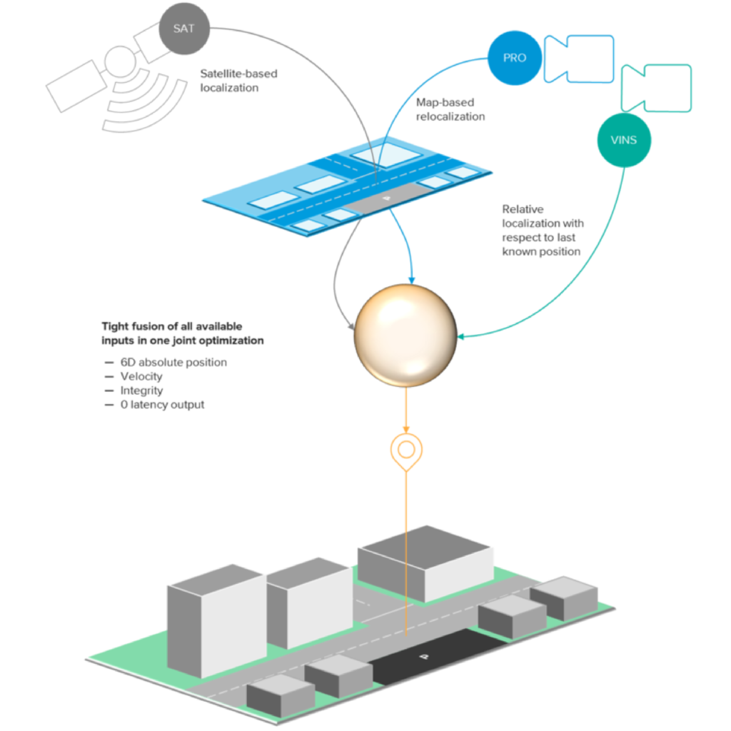
With minimal hardware requirements, Artisense software enables a scalable sensor setup for next-generation Six Degrees of Freedom positioning accuracy and continuous tracking, even in the absence of GNSS/INS or in GNSS denied environments. The hardware has been designed to meet the requirements of everything from a single development kit to large scale robotics and vehicle automation projects.
A user-friendly dashboard provides confidence and velocity measurements in addition to position. VINS PRO also fuses map-based relocalisation for complete GNSS redundancy.
In the pipeline
Artisense is planning a host of new features throughout 2021, including support for the fusion of additional optional sensors such as IR cameras and LiDAR, powered by Kudan LiDAR SLAM, tools for continuous online sensor and vehicle calibration, and tools for application-specific adaptation of Artisense maps.
Contact us to discuss positioning solutions.