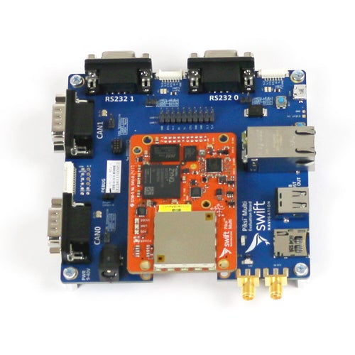
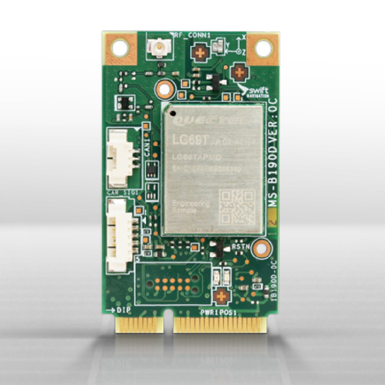
Description
VINS PRO offers additonal functionality to VINS including:
GNSS Independence – achieved by the inclusion of additional map-based positioning to the sensor fusion engine, enabling positioning without GNSS or other references, both indoors and outdoors.
Redundancy – in the unlikely event that both GNSS and the map-based positioning fail VINS PRO can fall back on to purely visual tracking.
How it works
Artisense SLAM algorithm tracks the position of the camera in 3D as it moves, ensuring centimetre accurate positioning. The direct SLAM process makes it more robust and accurate than feature-based, indirect methods.
Auto Exposure Control deals with sudden lighting changes and low light conditions.
Dynamic Object Masking excludes dynamic objects from the mapping and localisation optimisation.
Sensor fusion engine tightly meshes camera and IMU input and can also be fused with RTK GNSS.
Best positioning understanding is achieved using the sensor’s raw data input, solving potential optimisation issues. This deep integration enables more accurate and robust positioning compared to a loosely coupled set of individual sensors where each sensor’s output is only averaged by weight.
Features
- Positioning in six Degrees of Freedom (DoF), with or without GNSS
- Adjustable output frequency, position confidence, velocity and more
- Web-based dashboard for ease of control and monitoring
- Nanosecond synchronization of cameras, IMU and GNSS
- Easy to integrate sensor and retro-fit development kit
- Additional map-based positioning completely independent of GNSS
- Includes Artisense Sensor and ArtiSLAM software
- Free software upgrades for 1 year
Applications
Components
Hardware | Sensor head, compute module, GNSS receiver and antenna, cable accessories and secure case |
Software | VINS software, web-based dashboard |
Documentation | Manual, factory calibration and quality reports |
Output
ArtiMap-based Re-localization | Vision-based 6DoF re-localization in local or geo-referenced coordinates |
ArtiMap size ca. 30 MB/km | |
ArtiSLAM | 6 DoF pose in ECEF / WGS84 and/or 6 DoF pose in local coordinate |
Point cloud | |
ArtiFusion | Confidence (covariance) output |
Velocity [m/s] | |
ArtiSensor | Sensor synchronization < 100 ns |
960×600 or 1920×1200 px @ 30 FPS in RAW10 | |
Support for synchronization with other sensors |
Interfaces
Output Interface | ROS, gRPC |
Hardware Interface | M12 Ethernet |
User Interface | Web-based dashboard |
Accuracy
Scenario | ArtiSLAM (visual-inertial only) | |||
Horizontal | Vertical | Heading | Roll and Pitch | |
Urban (Day) | 0.6 % | 0.1 % | 0.001 deg/m | 0.0001 deg/m |
Urban (Night) | 1.2 % | 0.3 % | 0.002 deg/m | 0.0002 deg/m |
Scenario | ArtiMap-based Re-localisation | ||
< 0.1m accuracy | < 0.3m accuracy | < 0.5m accuracy | |
Overcast | >50% | >80% | >85% |
Rain | >30% | >65% | >70% |
Snow | >25% | >70% | >80% |
Performance
Initialization time | 1 – 10 seconds |
Re-initialization time | 1 – 3 seconds |
Latency | Configurable down to 0 ms latency |
Output frequency | Up to 100 Hz |
Hardware
Output | Image | Monochrome RAW8 or RAW10 |
IMU data | 3 axis gyroscope and 3 axes accelerometer | |
Sensor components | Camera | Two (2) automotive-grade grayscale HDR global shutter cameras |
IMU | MEMS IMU | |
Compute module | NVIDIA Jetson AGX Xavier | |
Storage | 512GB M.2 SSD | |
GNSS Receiver | Septentrio mosaic-X5 as a default receiver | |
GNSS Antenna | Supports L1, L2 and L5 | |
Dimensions | Sensor head | 30 x 180 x 37.4 mm (stereo camera and IMU, including FAKRA plug). 150mm baseline |
Compute module | 103 x 140 x 53 mm (contains NVIDIA Jetson AGX Xavier by default) | |
Environment | Operating temp – sensor head | 0-40°C |
Operating temp – compute module | 0-60°C | |
Illumination | An external light source is required | |
Weight | Sensor head | 160g |
Compute module | 900g | |
Power | Sensor head | 5W |
Compute module | 13W | |
Input voltage | 9-20V | |
Recording | Image resolution | Up to 1920×1200 px |
Image field of view | Up to H: 90 degrees V: 60 degrees | |
Camera rate | Max. 140 FPS | |
IMU rate | Max. ca. 6.7 kHz | |
GNSS rate | 10 Hz (RTK) | |
Interface | Sensor head to compute | FPD-Link III |
Compute module output | M12 Ethernet and micro-B USB2.0 SMA plug for GNSS antenna connection Phoenix Contact PC5/2-GU-7,62 (mating connector included) Sync in/out for synchronization with another clock source | |
Mounting | Default | Two ¼-20 UNC threads with 8.5 mm thread depth |
Optional Components
Component | Default | Customisation | |
GNSS | Receiver | Septentrio mosaic-X5 | Please enquire for exclusion or different unit |
Antenna | Supports L1, L2 and L5 | Please enquire for exclusion or different unit | |
Mounting | Windscreen mount | Not included | Variable angle 30° to 80° from the horizontal in 5° intervals |
Custom mount | Available on request | ||
Storage | Internal | 512 GB M.2 SSD | Upgradable up to 2 TB |
External | None | via USB2.0 | |
Cables | Compute module to client | 3m M12-RJ45 | Variable-length |
Sensor to compute module | 6m FAKRA | Variable-length |