Level Five Supplies offers on-demand, custom LiDAR training courses, designed to complement our other services and accelerate the tricky early stages of integration.
Our courses offer the ideal combination of theory and practice, ensuring you develop a sound working knowledge of LiDAR hardware and software. Learn how to get started with generating, recording and interpreting point clouds for robotics and autonomous systems – an exclusive opportunity to understand the fundamentals of digital 3D LiDAR technology.
Developed by Dr Rebecca Bennett and the Level Five engineering team, training is for groups of 5 to 10 people.
Getting started with LiDAR
Integrators course
Analysing LiDAR data
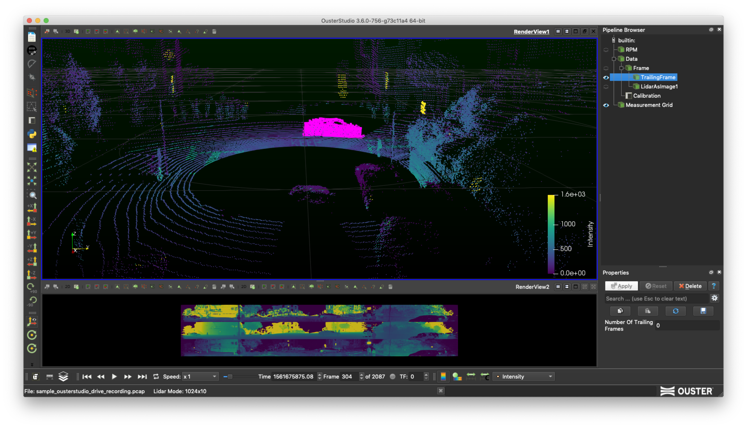
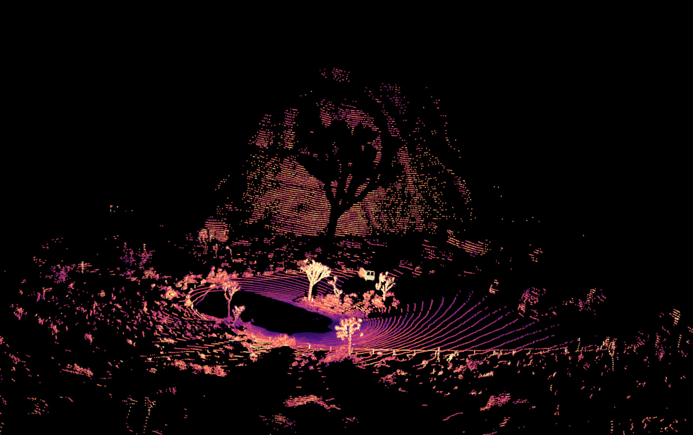
Designed for intermediate level learning, the Integrators course will help develop practical skills to gather, interpret and analyse the accuracy and usefulness of 3D LiDAR data, primarily using a range of 1D, 2D and 3D LiDAR sensors from a variety of manufacturers. Creating point clouds, ensuring hardware and software connections between sensors and processing systems using Python / ROS and C++, attendees will prepare themselves to use LiDAR in integrated products, research, and projects.
The training will require a reasonable level of technical skills – so attendees should be prepared with a knowledge of Python and/or C++. Using your own laptop and a virtual ROS environment, you’ll interpret point cloud data and perform processing and some light Machine Learning techniques to generate results.
Aimed at: Product engineers, Software engineers, Technicians, Developers, Technical Consultants and Researchers
Following the course you will be able to:
- Understand LiDAR spec sheets
- Choose the best sensor for your project
- Connect sensor and set up drivers on Linux, and use the manufacturer’s visualisation/capture tools
- Run ROS wrapper to get the data from the sensor in real-time
- Save LiDAR data to files
- Develop Python code for data exploration using standard Python packages & visualise in web notebooks
- Develop Python and C++ code in ROS and PCL (Point Cloud Library) to get useful results from real-time data in a robotics system
- Conceptualise, develop and train AI / DNN code to work with point cloud data to run object detection/classification in 3D
Introductory course
What is LiDAR, how can it be used? What are its applications, limitations and industries? Our Course leaders use market knowledge and a variety of LiDAR systems to demonstrate the technology and how it can generate useful spatial information for your applications. We also touch on the skills needed to successfully deliver a project using LiDAR, including looking at how to select and evaluate hardware and datasheets, as well as the pitfalls you may encounter when the work begins.
Aimed at Project Managers, Junior Technicians, non-technical analysts and consultants, decision-makers.