New Supplier: NextCore UAV LiDAR
Level Five Supplies has formed a new supplier partnership with NextCore, pioneers of unmanned aerial and terrestrial technology solutions. Its RN50 Drone LiDAR Unit, with its swift and simple workflow, allows users to survey areas with steep and dense vegetation – accurate to 50 mm.
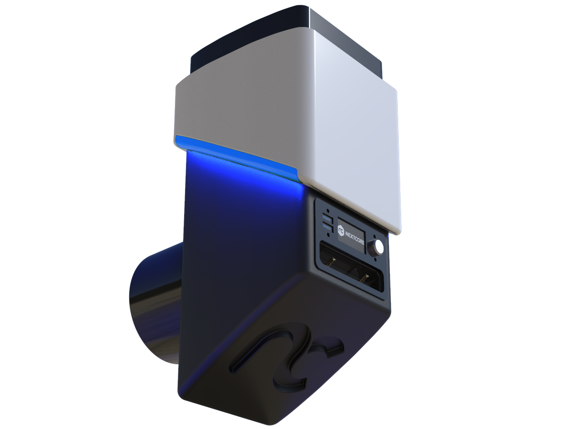
NextCore RN50 Drone LiDAR Unit
“UAV and drone-based surveying is a rapidly developing sector and we are delighted to start working with NextCore to bring their products and services to Europe,” said Alex Lawrence-Berkeley, CEO of Level Five Supplies.
“As a surveying drone pilots themselves, their suite of hardware and software products has developed quickly to become best-in-class, cost-effective and user-friendly – particularly to aid spatial information for use in construction, civil engineering projects, transport, rail and utilities.”
See NextCore in action:
Drone-based LiDAR has a wide range of applications, including:
- Steep, highly vegetated terrain
- Power lines
- Limited site access
- Feature extraction
- Accuracy proofing
“We’re delighted to start working with Level Five Supplies and capitalise on their knowledge of LiDAR and positioning technology, as well as their in-built enthusiasm for disruptive, user-oriented products like the RN50 and our Corridor software suite,” said Ashley Cox, COO at NextCore.
“The UK market has shown its desire for modern surveying technologies, and the pace of growth and diversification in the market is best served by a partner that is also hungry to serve it. In Level Five, we’ve found a company that is exciting, passionate and technically capable to achieve this goal.”
Got questions? Get in touch.